AME Digital Archives
Interactive Maps
Explore the geographic expansion of African Methodism through church foundations, migration patterns, educational institutions, episcopal districts, and global communities.

Mapping African Methodism
What Can These Maps Tell Us?
The history of African Methodism is inseparable from geography. From the movement of freedpeople after emancipation to the establishment of churches, schools, conferences, and episcopal districts, maps reveal how African Methodists built institutions and communities across time and space.
Featured Mapping Projects
Explore the Maps
Interactive Map
AME Church Migration
Trace the spread of African Methodist Episcopal churches across the United States, with special attention to migration, emancipation, settlement, and institutional growth.
Explore MapInteractive Map
Episcopal Districts
View the episcopal districts of the African Methodist Episcopal Church and explore how denominational geography reflects global church organization.
Explore Map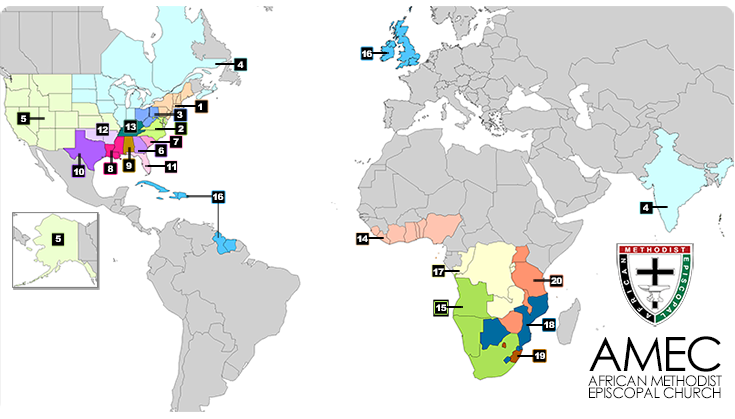
Interactive Map
AME Schools
Locate AME schools, colleges, seminaries, and educational institutions that helped shape Black education and leadership development.
Explore MapInteractive Map
Global African Methodism
Explore the international presence of the AME Church across countries, continents, conferences, and global communities.
Explore Map
Research Pathways
Questions These Maps Help Answer
Migration
How did AME churches spread after emancipation?
Education
Where did AME schools emerge and why?
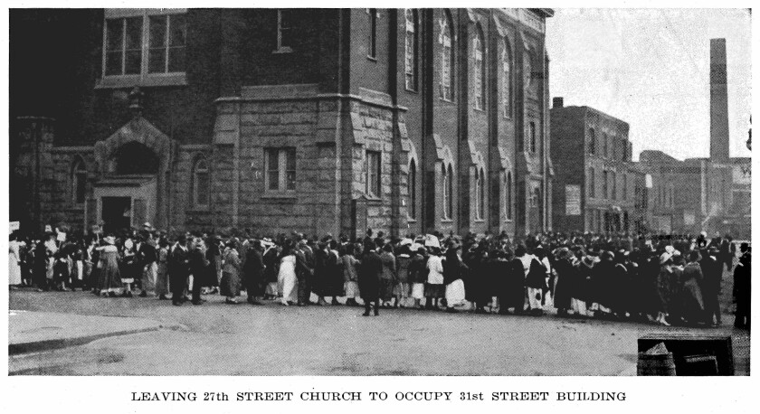
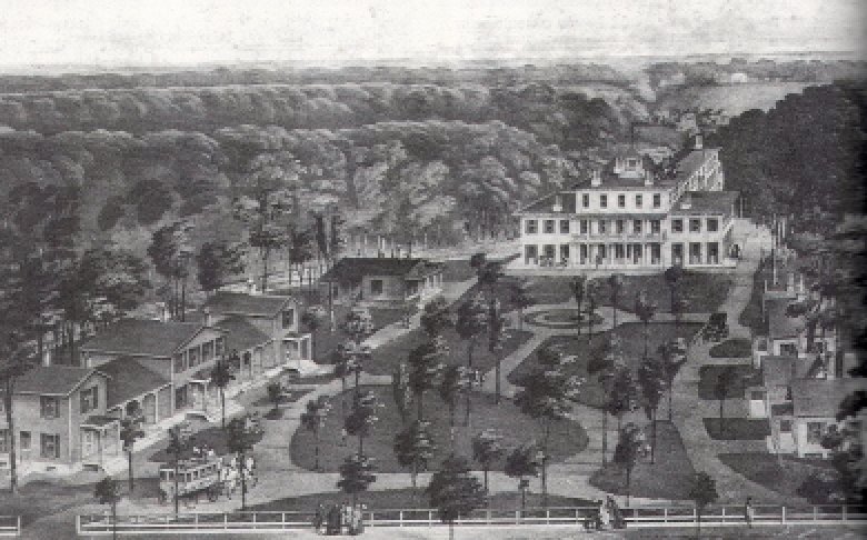
Urbanization
How did African Methodists shape cities and local communities?
Global Expansion
How did the denomination become an international church?
3,000+
Churches
39
Countries
20
Episcopal Districts
210+
Years of History